Shifting offshore sandbanks pose unique navigation hazard
Sandbanks can shift position during winter storms, but sonar mapping means charts can now be updated immediately
Offshore sandbanks are a particular navigation hazard because, unlike rocks and reefs, they have a habit of shifting position during winter storms.
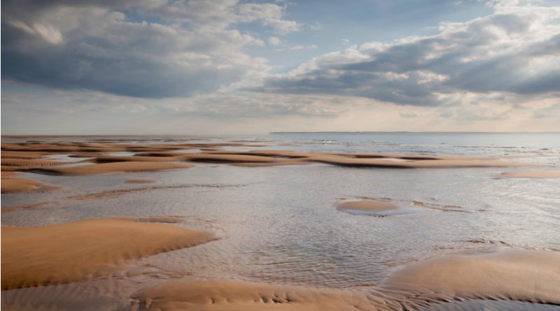
The Goodwin Sands is a 10-mile (16km) bank off the coast of Deal in Kent, close to the busy shipping lanes of the Dover strait. The sands have claimed about 2,000 vessels over the years. In 1634, two lighthouses were set up on South Foreland for sailors to follow a safe route through.
The banks consist of 25 metres of fine sand on a chalk base. The motion of large waves can reach down to the seabed, pulling sand loose, eroding one side of a bank and depositing on the other. The bank may break apart and form a new channel, or two banks may merge and close an existing channel. The whole bank may also “migrate” in a heavy storm. One North Sea bank was tracked moving 70 metres in 50 days, and a 1954 study found the entire Goodwin Sands had rotated anti-clockwise over decades.
Previously, shifting sands were mapped by survey vessels lowering a weight on a line, and it took years for the effects of storms in 1925-26 to be properly mapped. These days the changes can be mapped rapidly through sonar and online charts can be updated immediately.
Cover photo: Goodwin Sands off the coast of Deal in Kent, close to the shipping lanes of the Dover strait. the sands have claimed about 2,000 vessels over the years. Photograph: Kentish Dweller/Alamy